Cross-state icon comparison · 1971 mi apart
Amicalola Falls vs Royal Arch Cascade
Two waterfalls in our directory, side by side. Same data we use on the individual pages — height, access, what we know, what we don't.
Georgia
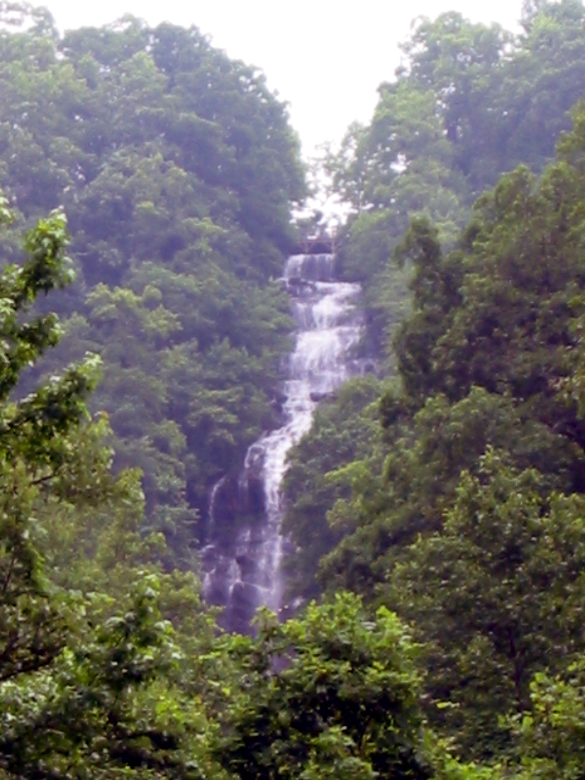
Amicalola FallsAmicalola Falls is a waterfall in Georgia. It drops roughly 728 feet. Access details and conditions have not yet been verified in person by Fallspots — the data on this page comes from OpenStreetMap and USGS GNIS.
See the full page →
California
Royal Arch CascadeRoyal Arch Cascade is a waterfall in Mariposa County, California. It drops roughly 1,247 feet. Access details and conditions have not yet been verified in person by Fallspots — the data on this page comes from OpenStreetMap and USGS GNIS.
See the full page →| Spec | Amicalola Falls | Royal Arch Cascade |
|---|---|---|
| State | Georgia | California |
| Height | 728 ft | 1,247 ft |
| Type | — | — |
| Watercourse | Amicalola Creek | — |
| Park | — | Yosemite National Park |
| County | — | Mariposa |
| Elevation | 768 m | 1378 m |
| Nearest city | Dawsonville (11 mi) | Yosemite Valley (1 mi) |
| Dogs allowed | — | No |
About Amicalola Falls
Amicalola Falls is a 729-foot waterfall on Amicalola Creek in Dawson County, Georgia, United States. It the highest waterfall in Georgia and is considered to be one of the Seven Natural Wonders of Georgia. The name "Amicalola" is derived from a Cherokee language term ama uqwalelvyi, meaning "tumbling waters." The falls are the centerpiece of Amicalola Falls State Park.
About Royal Arch Cascade
Royal Arch Cascade is a waterfall located on the north wall of Yosemite Valley and the Yosemite National Park, United States, within walking distance from the Ahwahnee Hotel. The falls are 1,250 feet (380 m) high and are usually dry by June. The waterfall gets its name from its location immediately adjacent to the Royal Arches, which are a series of concentric semicircular setbacks in the cliff face directly opposite Glacier Point. The waterfall lacks a plunge pool and its flow is relatively gentle, making the base of the falls a popular photo spot.
Where they are
Dashed line shows the straight-line distance (1971 mi). Actual drive time depends on the route — neither pin is the parking lot, so use a map app for turn-by-turn.
Map loads when visible
Related comparisons
Other side-by-side comparisons featuring Amicalola Falls or Royal Arch Cascade.
Amicalola Falls vs Bridalveil Fall
GA · CA
Amicalola Falls vs Cherokee Falls
GA · GA
Amicalola Falls vs Chilnualna Fall
GA · CA
Amicalola Falls vs Depot Creek Falls
GA · WA
Amicalola Falls vs Hemlock Falls
GA · GA
Amicalola Falls vs Horsetail Fall
GA · CA
Amicalola Falls vs Horsetail Falls
GA · CA
Amicalola Falls vs Illilouette Fall
GA · CA