Pratt's Falls
New York · 137-foot drop · Pratt's Falls County Park · Last verified 2026-06-26
Today at Pratt's Falls: slight chance rain showers, 65°F.
Right now
Overnight
65°F
Slight Chance Rain Showers
Friday
79°F
Slight Chance Showers And Thunderstorms then Mostly Cloudy
Today's daylight
Sunrise 5:34 AM · Sunset 8:43 PM · 15h 10m
Snapshot built 6m ago. Sources: NWS BGM.
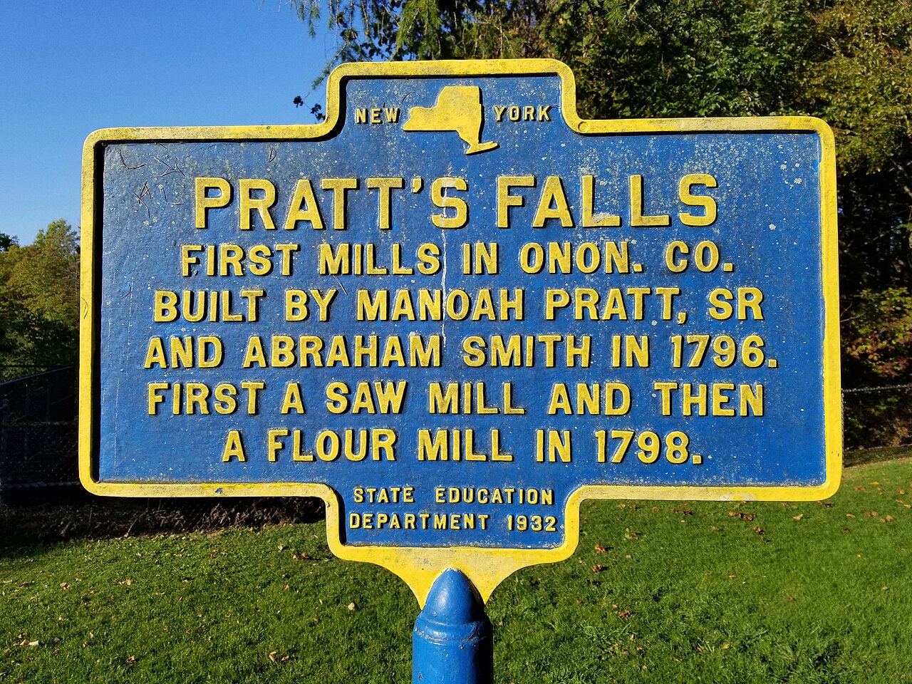
Pratt's Falls is a 137-foot ribbon cascade on West Branch Limestone Creek in Onondaga County, just south of Syracuse. The 304-acre Pratt's Falls County Park sits around it, with a 0.6-mile trail (steps and railings) descending to the base. Open April through October only; $5 per vehicle. The Finger Lakes region's tallest waterfall east of Syracuse — quieter than the Watkins Glen falls and free of crowds.
The trail
0.6 miles each way, rated easy with 120 feet of elevation gain. Pratt's Falls Park parking lot, 7671 Pratt's Falls Rd, Manlius NY. $5 per vehicle admission.
Is the water flowing right now?
Most waterfall sites don't tell you this. The waterfall itself is almost never gauged, but a USGS streamgage in the same watershed can tell you whether snowmelt has started, peaked, or run dry.
USGS gage 04245200 · 3.4 mi away
BUTTERNUT CREEK NEAR JAMESVILLE NY
View live discharge data →
Compare to nearby falls
If this one isn't the right fit, here's how it stacks up against the closest documented falls. Every column is filterable on the site — not buried in 13,000 reviews.
| Waterfall | Distance | Height | Trail | Dogs | Fee |
|---|---|---|---|---|---|
| Pratt's Falls (this page) | — | 137 ft | easy · 0.6 mi | Y | $5 |
| Brickyard Falls | 4 mi | — | — | — | — |
| Edwards Falls | 4 mi | — | — | — | — |
| The Cascades | 6 mi | — | — | — | — |
| Delphi Falls Lower | 7 mi | 213 ft | — | — | — |
| Delphi Falls Upper | 7 mi | 171 ft | — | — | — |
Related waterfalls
Similar height (~137 ft)
- Arethusa Falls138 ft
- Panther Creek Falls136 ft
- Rainbow Falls138 ft
- Twin Falls138 ft
- Franklin Falls135 ft
Same best season in New York
- Plattekill Falls60 ft
- Rainbow Falls60 ft
Questions visitors ask about Pratt's Falls
Answers built from our structured data. If a question isn't here, the fact is unverified — we'd rather omit than guess.
How tall is Pratt's Falls?
Pratt's Falls is 137 feet (41.8 m) tall. Source heights disagree by source — see the discrepancy box on the page.
Is Pratt's Falls in a national or state park?
Yes — Pratt's Falls is inside Pratt's Falls County Park. See the park page for fees, hours, and current conditions.
Can I bring my dog to Pratt's Falls?
Yes — dogs are allowed (Pratt's Falls County Park permits leashed dogs in most areas). Always leash and pack out waste.
Can you swim at Pratt's Falls?
No — swimming is not safe or not allowed at Pratt's Falls. The gorge below the falls is narrow and steep — no safe water access. A small pond near the parking lot is fishing-only, no swimming.
When is the best time to visit Pratt's Falls?
Peak flow is typically April, May, June, July, August, September, October. Season-wise: spring, summer, fall. Snowmelt and recent rain affect day-to-day volume.
Is there a fee to visit Pratt's Falls?
Yes — entry costs around $5. Most Pratt's Falls County Park entrances accept the America the Beautiful annual pass.
How far is Pratt's Falls from a major city?
Pratt's Falls is 3 miles from Pompey (about 5 minutes' drive).
More waterfalls in New York
Where it is
42.9312, -75.9943
Sources and live status
Where we got the data, and where to check current conditions before you drive.
Official land manager
https://onondagacountyparks.com/parks/pratts-falls-park/
Wikipedia
https://en.wikipedia.org/wiki/Pratt%27s_Falls_Park
Last verified by Fallspots: 2026-06-26
Been there?
Marina and Theo verify pages one road trip at a time. If you've been to Pratt's Falls recently, your local knowledge improves the page for everyone. Pick the kind of contribution that fits — every email lands in our inbox and gets read (and credited when we publish).
Add a tip
Something we should know — best time, parking trick, that hidden viewpoint.
Share a photo
Have a CC-licensed image on Wikimedia or Flickr? Send the link.
Report a fix
Wrong height, closed trail, broken link — tell us what we got wrong.
We don't collect your email. Replies go directly to hello@fallspots.com.