Oregon · 30 miles east of Portland · 10 famous falls
Columbia River Gorge waterfalls
The Columbia River carves a 100-mile gorge between Oregon and Washington, and the Oregon side is the densest cluster of roadside waterfalls in the United States. Ten famous falls in a 12-mile drive east of Portland, plus dozens more reached by trail. This is the order to do them, the permit you need, and which to skip.
The basics
- Where
- Historic Columbia River Highway (US-30), Oregon side
- Start
- Crown Point / Vista House (35 min east of PDX airport)
- End
- Bonneville Dam visitor center (10 falls in 12 miles)
- Permit
- Timed-entry required for Multnomah parking, summer 9am-6pm
- Fee
- $15 NW Forest Pass for some trailheads (or $5/day)
- Best time
- March – May (peak snowmelt + spring rain)
- Worst time
- August (lowest flow), September weekends (most crowded)
- Dogs
- Allowed on leash on most trails
The 10 famous Gorge waterfalls, in driving order
Driving east from Portland on the Historic Columbia River Highway. Each opens to its full page with height verified from multiple sources, trail data, and live USGS streamflow when available.
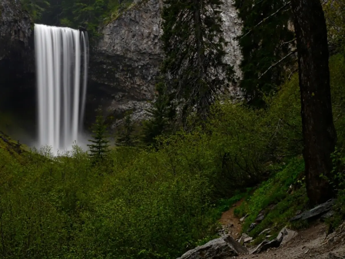
#1Latourell Falls
224 ft
drive-up viewpoint
Photo: Wikimedia
#2Bridal Veil Falls
118 ft
drive-up viewpoint
Photo: Wikimedia
#3Wahkeena Falls
242 ft
drive-up viewpoint
Photo: Wikimedia
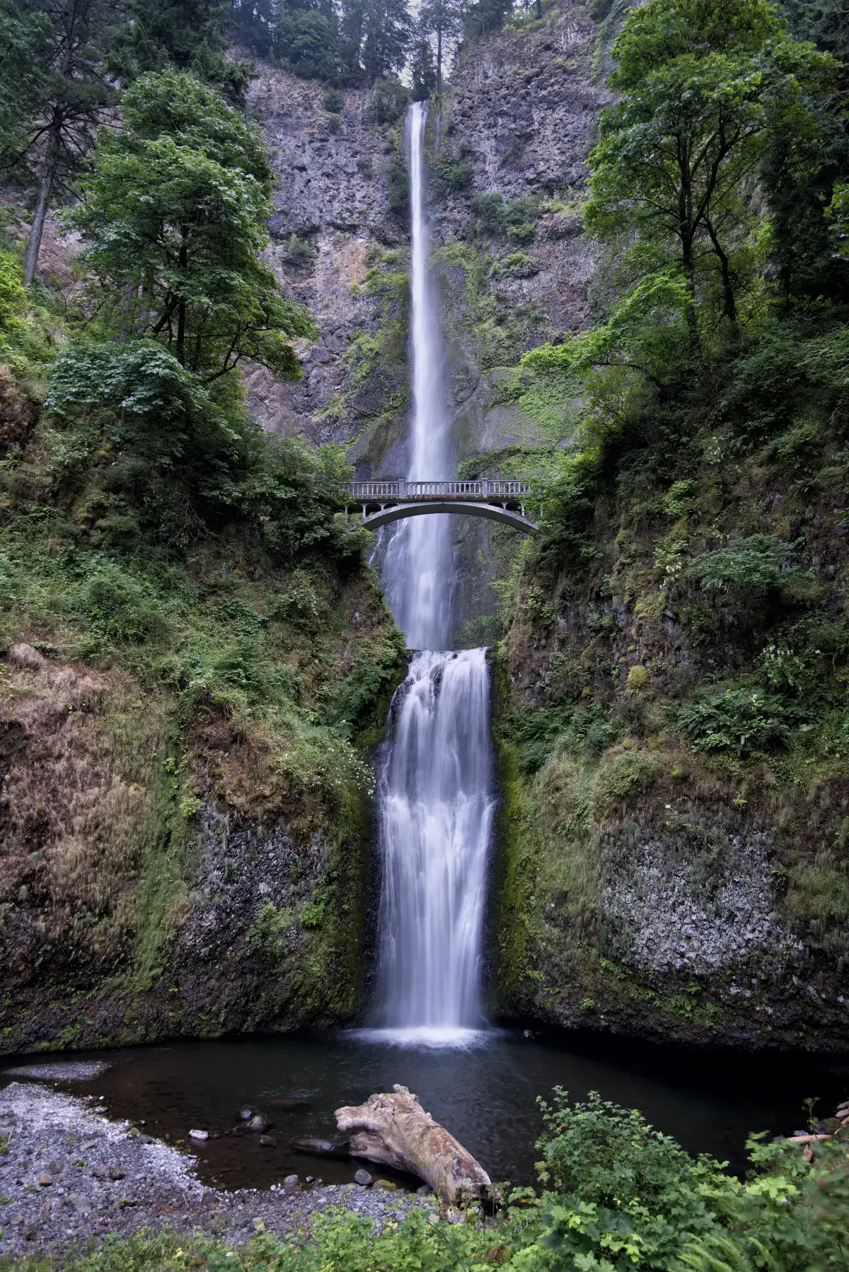
#4Multnomah Falls
541 ft
drive-up viewpoint
Photo: Wikimedia
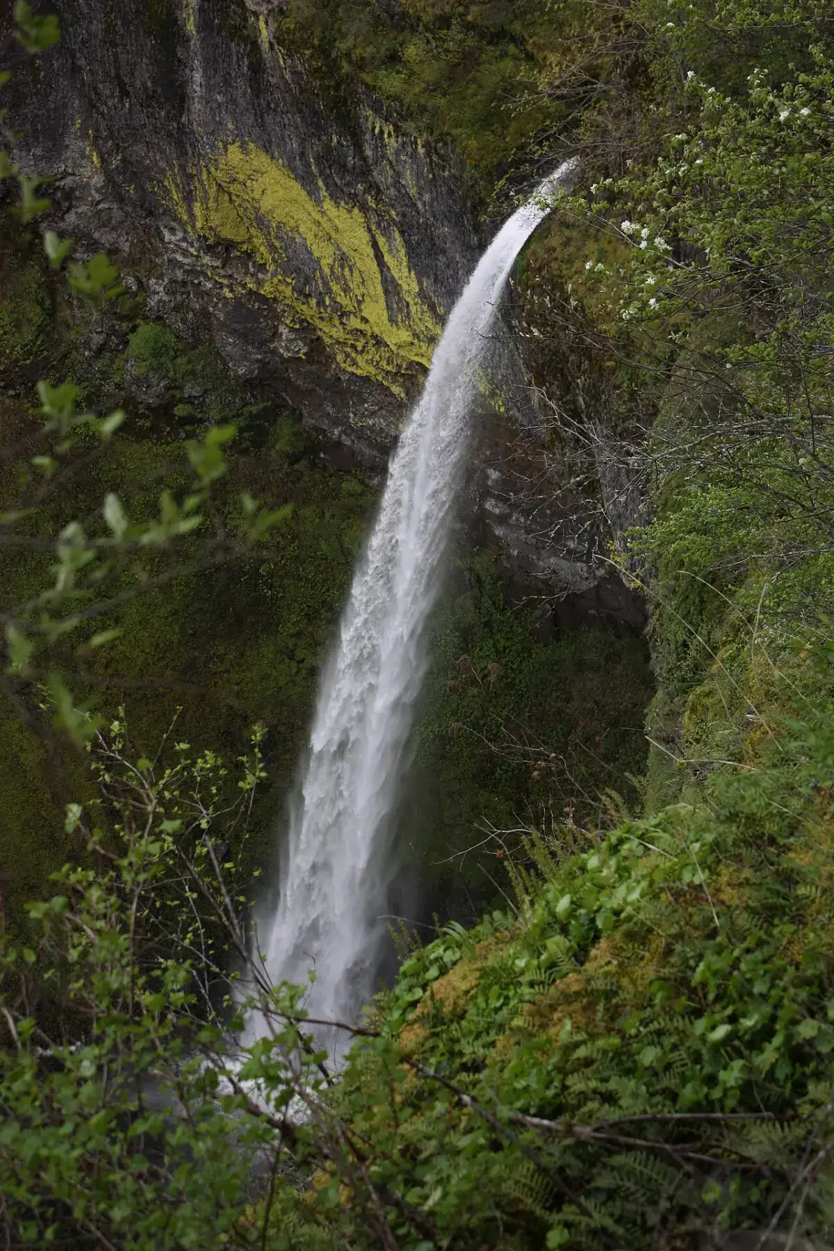
#5Horsetail Falls
214 ft
drive-up viewpoint
Photo: King
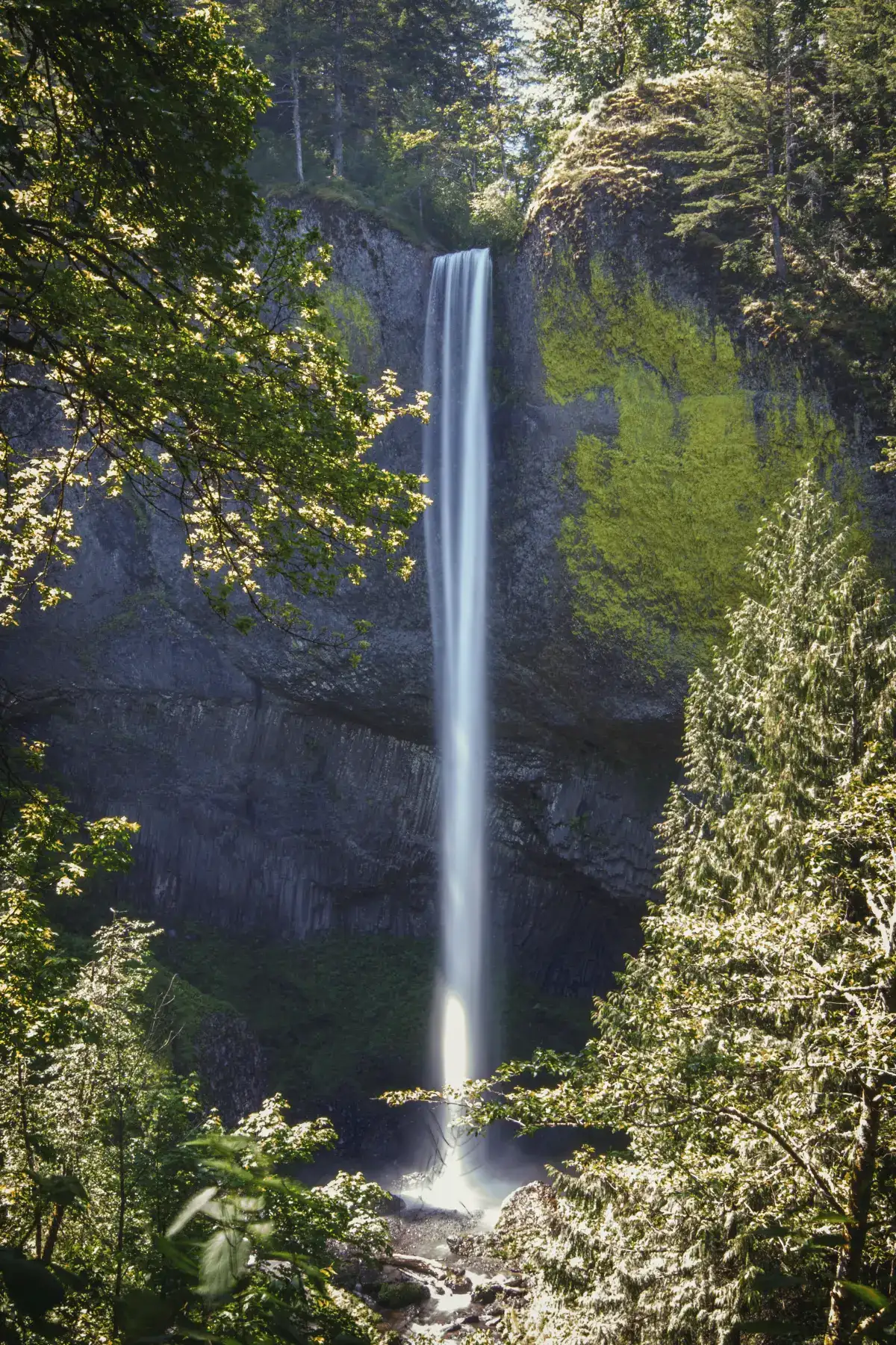
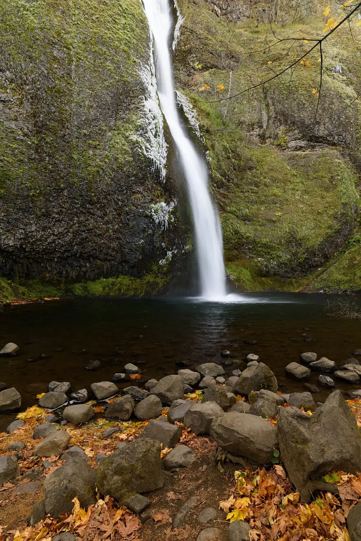
#6Elowah Falls
213 ft
drive-up viewpoint
Photo: Walter
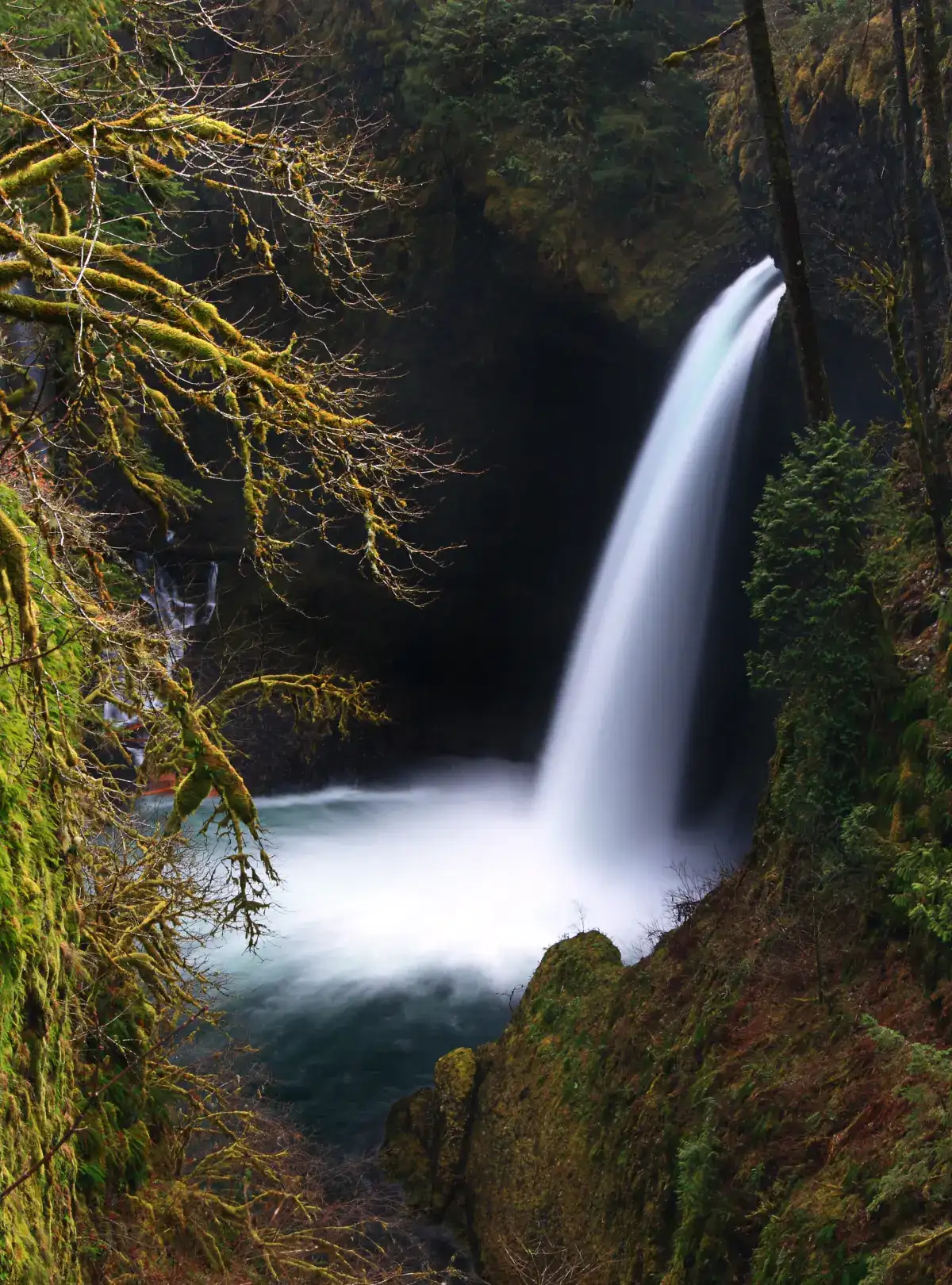
#7Metlako Falls
102 ft
drive-up viewpoint
Photo: Wikimedia
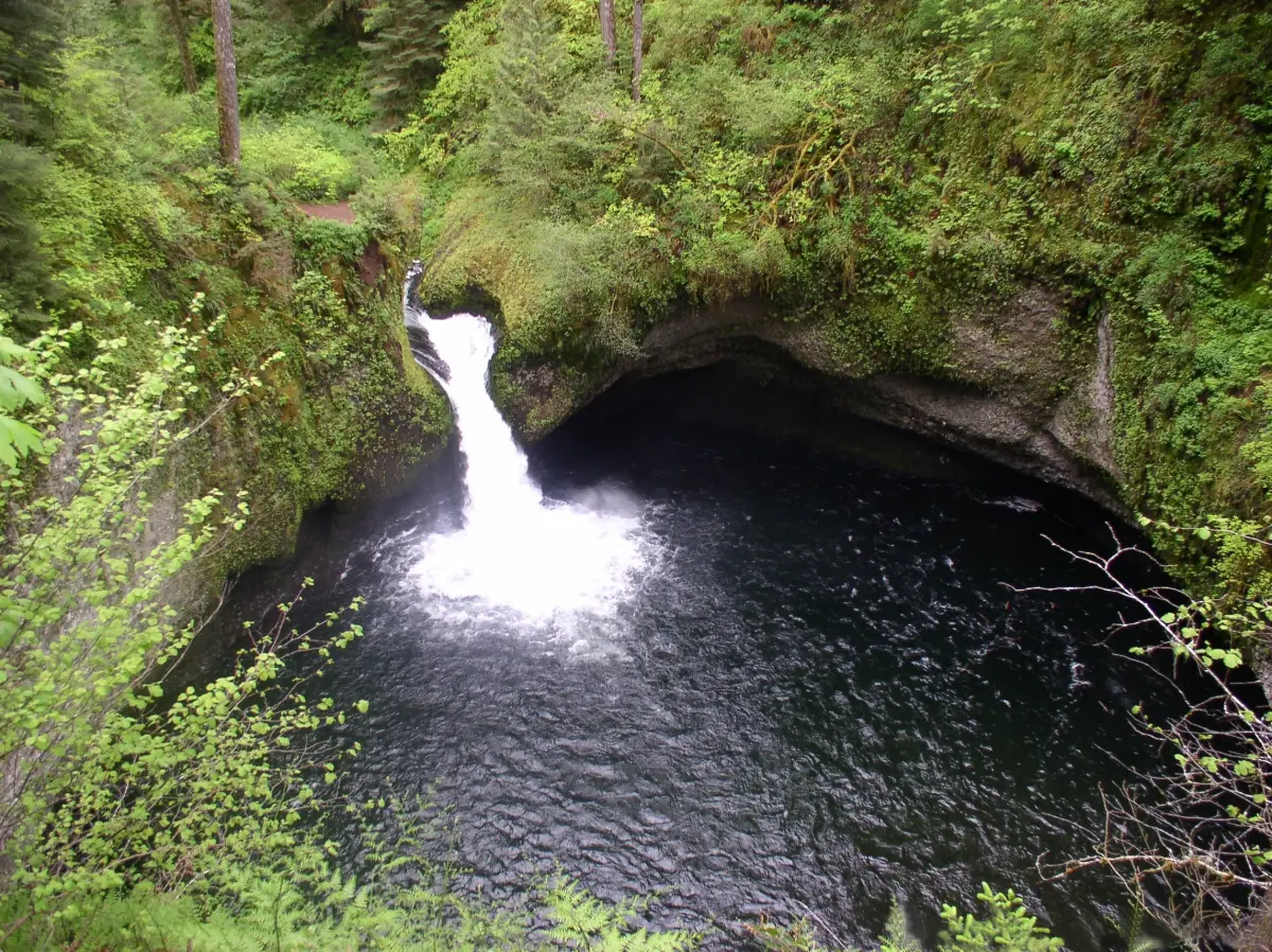
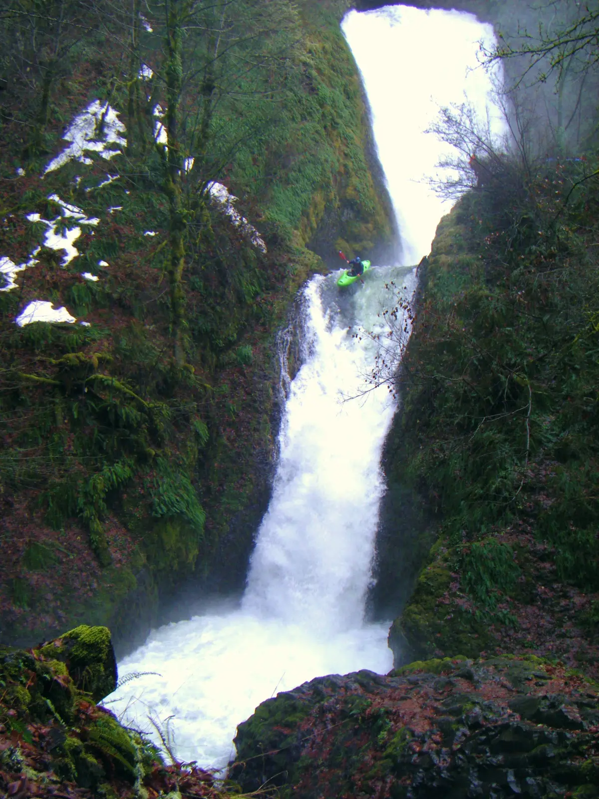
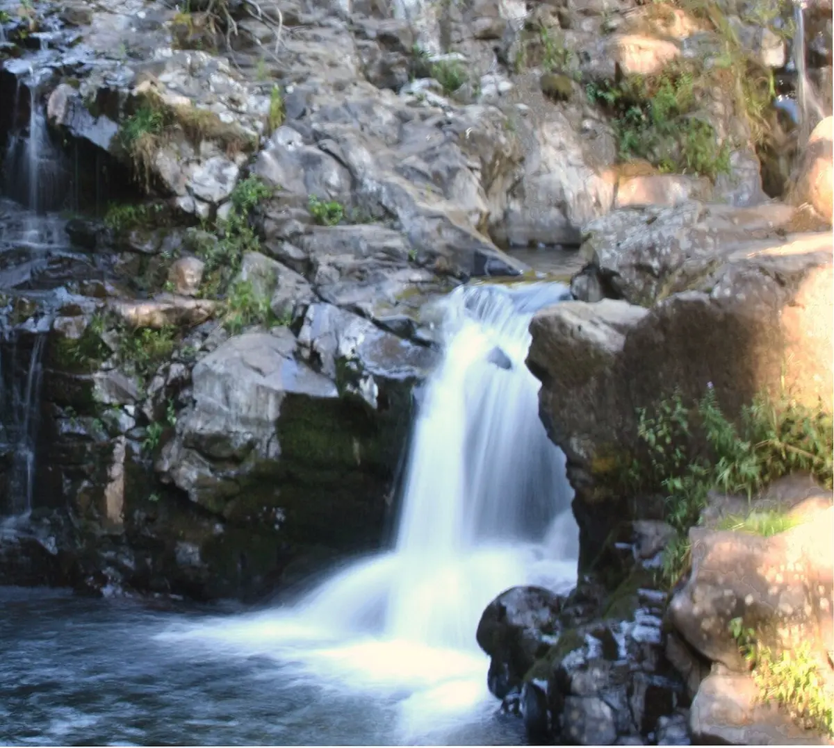
#8Punch Bowl Falls
36 ft
drive-up viewpoint
Photo: Wikimedia
#9Tamanawas Falls
108 ft
3.3 mi hike
Photo: U.S.
#10Moulton Falls
11 ft
1.4 mi hike · WA
Photo: PJ
Suggested itinerary — half day from Portland
If you only have 4-5 hours, drive east on I-84, exit at Lewis & Clark State Park (exit 18), then follow signs for the Historic Columbia River Highway. Hit these in order:
- Latourell Falls — 1-mile loop, you can walk behind the lower fall
- Bridal Veil Falls — 0.6-mile out-and-back, two-tiered view
- Wahkeena Falls — drive-up viewpoint, optional 5-mile loop to Multnomah
- Multnomah Falls — the icon. Reserve your timed-entry parking ahead
- Horsetail Falls — drive-up, optional Triple Falls hike (4 mi RT)
End at the Bonneville Dam visitor center or backtrack to Crown Point for sunset.
Common questions
How many waterfalls are in the Columbia River Gorge?
More than 90 named waterfalls drain into the Columbia River along the gorge. Around 10 are roadside-accessible from the Historic Columbia River Highway (US-30) east of Portland, with the rest reached by hikes ranging from 0.5 to 8 miles.
What's the order of the Columbia Gorge waterfalls driving east from Portland?
From west to east on the Historic Highway: Latourell Falls (mile 8), Bridal Veil Falls (mile 10), Wahkeena Falls (mile 12), Multnomah Falls (mile 13), Horsetail Falls (mile 16), Oneonta Falls (mile 17). After Multnomah, the highway turns into the Waterfall Corridor and these are all within 10 minutes of each other.
Is Multnomah Falls the tallest in the Columbia Gorge?
Yes — Multnomah is 541 feet total (two tiers), the tallest in the gorge and the second-tallest year-round waterfall in the US after Yosemite. Wahkeena (242 ft) and Latourell (224 ft) are second and third in the gorge.
Do I need a permit for Columbia Gorge waterfalls?
A timed-entry permit is required for the Multnomah Falls parking lot during peak season (typically Memorial Day through Labor Day, 9am-6pm). Other gorge falls — Latourell, Wahkeena, Horsetail — are first-come parking, no permit. Get the Multnomah permit at recreation.gov.
Are dogs allowed at Columbia Gorge waterfalls?
Most Gorge trails allow leashed dogs (this is US Forest Service land, not National Park). Multnomah Falls allows leashed dogs on the paved viewing area. Higher up the trail dogs are still allowed but the rock can be hard on paws. Always carry water for them — there's no fountain after the main viewpoint.
When is the best time to see the Columbia Gorge waterfalls?
Late October through May, with peak flow March-May (snowmelt + spring rain). Summer the falls thin dramatically — Multnomah is still impressive but Wahkeena and Horsetail become trickles by August. Winter can have ice on trails but the falls are at their most powerful.
Were the Gorge waterfalls affected by the Eagle Creek Fire?
Yes — the 2017 Eagle Creek Fire burned a large area of the Gorge. Most trails reopened by 2020. Eagle Creek itself (Punchbowl, Metlako, Tunnel Falls) is fully reopened. Watch for falling burnt trees in windstorms even years later.